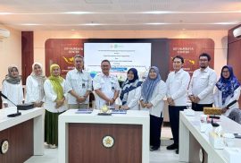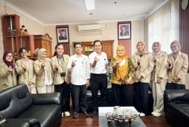
Ekspedisi EGSA 2026 kembali diselenggarakan sebagai bagian dari realisasi program kerja Divisi Penelitian dan Pendidikan oleh Fakultas Geografi Universitas Gadjah Mada melalui Environmental Geography Student Association (EGSA) pada Sabtu (03/01/26) hingga Rabu (07/01/26) di Kecamatan Sawangan, Magelang.
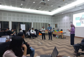
Pada tahun ini, Ekspedisi EGSA diikuti oleh 70 mahasiswa aktif Program Studi Sarjana Geografi Lingkungan angkatan 2024 dan 2025 dengan mengusung tema “Sawangan Suwarnadwipa: Unearthing the Living Heritage of Merbabu”.